Sujet 2 - Partie 1 · Bac Anglais, monde contemporain Métropole remplacement 2022
Thème : Environnements en mutation – Protection de la nature et transition écologique · Tiré du sujet Métropole France remplacement (2022)
Énoncé
Document A
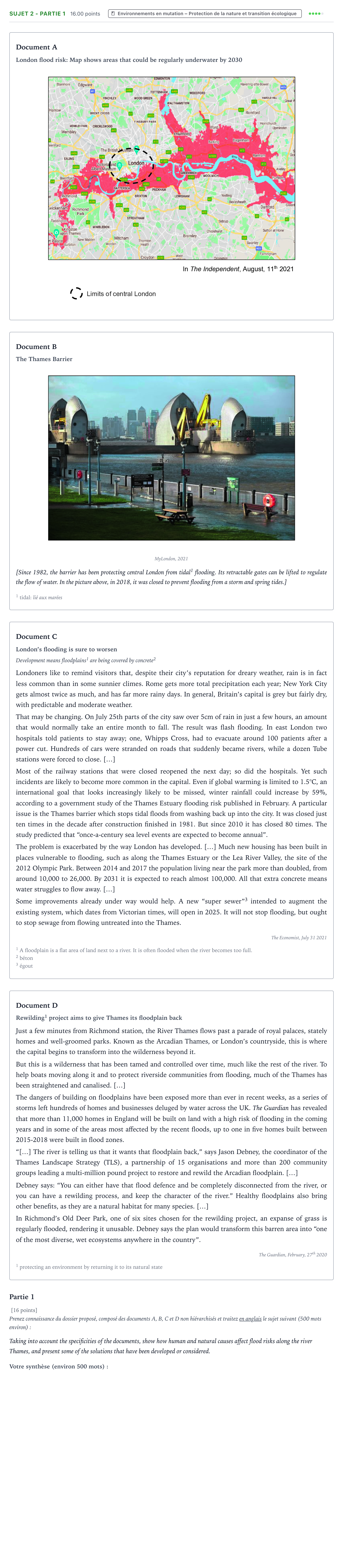
London flood risk: Map shows areas that could be regularly underwater by 2030
Document B
The Thames Barrier
MyLondon, 2021
[Since 1982, the barrier has been protecting central London from tidal 1 flooding. Its retractable gates can be lifted to regulate the flow of water. In the picture above, in 2018, it was closed to prevent flooding from a storm and spring tides.]
1 tidal: lié aux marées
Document C
London’s flooding is sure to worsen
Development means floodplains 1 are being covered by concrete 2
Londoners like to remind visitors that, despite their city’s reputation for dreary weather, rain is in fact less common than in some sunnier climes. Rome gets more total precipitation each year; New York City gets almost twice as much, and has far more rainy days. In general, Britain’s capital is grey but fairly dry, with predictable and moderate weather.
That may be changing. On July 25th parts of the city saw over 5cm of rain in just a few hours, an amount that would normally take an entire month to fall. The result was flash flooding. In east London two hospitals told patients to stay away; one, Whipps Cross, had to evacuate around 100 patients after a power cut. Hundreds of cars were stranded on roads that suddenly became rivers, while a dozen Tube stations were forced to close. […]
Most of the railway stations that were closed reopened the next day; so did the hospitals. Yet such incidents are likely to become more common in the capital. Even if global warming is limited to 1.5°C, an international goal that looks increasingly likely to be missed, winter rainfall could increase by 59%, according to a government study of the Thames Estuary flooding risk published in February. A particular issue is the Thames barrier which stops tidal floods from washing back up into the city. It was closed just ten times in the decade after construction finished in 1981. But since 2010 it has closed 80 times. The study predicted that “once-a-century sea level events are expected to become annual”.
The problem is exacerbated by the way London has developed. […] Much new housing has been built in places vulnerable to flooding, such as along the Thames Estuary or the Lea River Valley, the site of the 2012 Olympic Park. Between 2014 and 2017 the population living near the park more than doubled, from around 10,000 to 26,000. By 2031 it is expected to reach almost 100,000. All that extra concrete means water struggles to flow away. […]
Some improvements already under way would help. A new “super sewer” 3 intended to augment the existing system, which dates from Victorian times, will open in 2025. It will not stop flooding, but ought to stop sewage from flowing untreated into the Thames.
The Economist, July 31 2021
1 A floodplain is a flat area of land next to a river. It is often flooded when the river becomes too full.
2 béton
3 égout
Document D
Rewilding 1 project aims to give Thames its floodplain back
Just a few minutes from Richmond station, the River Thames flows past a parade of royal palaces, stately homes and well-groomed parks. Known as the Arcadian Thames, or London’s countryside, this is where the capital begins to transform into the wilderness beyond it.
But this is a wilderness that has been tamed and controlled over time, much like the rest of the river. To help boats moving along it and to protect riverside communities from flooding, much of the Thames has been straightened and canalised. […]
The dangers of building on floodplains have been exposed more than ever in recent weeks, as a series of storms left hundreds of homes and businesses deluged by water across the UK. The Guardian has revealed that more than 11,000 homes in England will be built on land with a high risk of flooding in the coming years and in some of the areas most affected by the recent floods, up to one in five homes built between 2015-2018 were built in flood zones.
“[…] The river is telling us that it wants that floodplain back,” says Jason Debney, the coordinator of the Thames Landscape Strategy (TLS), a partnership of 15 organisations and more than 200 community groups leading a multi-million pound project to restore and rewild the Arcadian floodplain. […]
Debney says: “You can either have that flood defence and be completely disconnected from the river, or you can have a rewilding process, and keep the character of the river.” Healthy floodplains also bring other benefits, as they are a natural habitat for many species. […]
In Richmond’s Old Deer Park, one of six sites chosen for the rewilding project, an expanse of grass is regularly flooded, rendering it unusable. Debney says the plan would transform this barren area into “one of the most diverse, wet ecosystems anywhere in the country”.
The Guardian, February, 27 th 2020
1 protecting an environment by returning it to its natural state
Partie 1
[16 points]
Prenez connaissance du dossier proposé, composé des documents A, B, C et D non hiérarchisés et traitez en anglais le sujet suivant (500 mots environ):
Taking into account the specificities of the documents, show how human and natural causes affect flood risks along the river Thames, and present some of the solutions that have been developed or considered.
Corrigé
Corrigé proposé par AprenAI (non officiel)
Taking into account the specificities of the documents, show how human and natural causes affect flood risks along the river Thames, and present some of the solutions that have been developed or considered.
Réponse : Suggested synthesis (model answer, approx. 500 words): The four documents in this dossier all address the growing threat of flooding along the river Thames, examining both its causes and the solutions put forward to tackle it. Document A, a map published in *The Independent* in 2021, shows the scale of the problem. Vast areas along the Thames, from Richmond to Dartford and including parts of central London, could be regularly underwater by 2030. This document, together with Document C, an article from *The Economist*, shows that the risk is linked to both natural and human factors. Regarding natural causes, Document C explains that London's rainfall is usually moderate and predictable compared to cities like Rome or New York. However, extreme weather events are becoming more frequent and intense. On July 25th, parts of the city received over 5cm of rain in just a few hours, an amount that would normally take a month to fall. The resulting flash flooding forced hospitals to evacuate patients and Tube stations to close. A government study also predicts that winter rainfall could increase by 59% and that "once-a-century" sea level events could become annual. Climate change is therefore intensifying natural flood risks, both from rain and from tides. Human causes are equally important. Document C stresses that urban development has made the situation worse. Housing has been built in flood-prone areas such as the Thames Estuary and the Lea Valley, where the population more than doubled between 2014 and 2017. The extra concrete prevents water from draining away. Document D, from *The Guardian*, reinforces this point: more than 11,000 homes in England will be built on land at high risk of flooding. It adds that the river has been straightened and canalised for boats and flood protection, which has deprived it of its natural floodplain. Faced with these risks, several solutions have been developed or are under consideration. Document B presents the Thames Barrier, a tidal flood defence that has protected central London since 1982. Its retractable gates regulate the flow of water, and the photograph shows it closed in 2018 during a storm and spring tides. However, Document C notes that this hard-engineering solution is used far more often than before: 80 times since 2010, compared with only ten times in its first decade. This suggests its limits are being tested. Document C also mentions a new "super sewer", due to open in 2025, which will not stop flooding but should stop untreated sewage from flowing into the Thames. Finally, Document D introduces a more ecological approach: the Thames Landscape Strategy's rewilding project, which aims to restore the Arcadian floodplain, for instance in Richmond's Old Deer Park. As Jason Debney puts it, "the river is telling us that it wants that floodplain back". Rather than being disconnected from the river by flood defences, people could let it flood naturally. This would also create rich wetland habitats for many species. To conclude, flood risks along the Thames result from a combination of climate change, which brings heavier rainfall and rising sea levels, and human choices such as building on floodplains and canalising the river. Responses range from engineering solutions like the Thames Barrier and the super sewer to nature-based solutions like rewilding. The documents suggest that both kinds of solution will be needed to adapt London to a wetter future.
L’explication pas à pas, faite avec l’IA, est réservée aux membres Premium. Premium
Résous-le ici : correction automatique, indices et corrigé détaillé.
‹ Sujet 1 - Partie 1 · Métropole 2023